
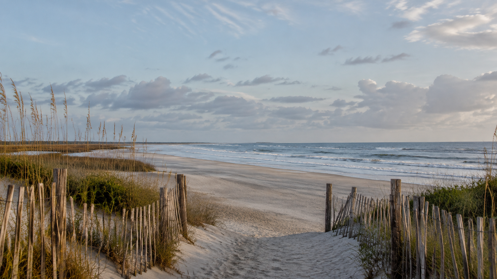
North Topsail Beach is easy to underestimate. It is long, low, sandy, and usually quieter than the towns farther down the island. But that calm strip of the North Carolina Coast has been a military testing ground, a landmark in Black coastal history, and an ongoing argument between the Atlantic Ocean and anybody who would prefer the shoreline to hold still.
In other words, there is a lot more going on here than beach chairs and a good view. Here are a few pieces of the place that are worth knowing.
It occupies the northernmost 11 miles of Topsail Island
North Topsail Beach is not just a neighborhood at the top of the island. It is its own town, covering the northernmost 11 miles of Topsail Island in Onslow County. Before it took its current name, the area included places known as West Onslow Beach and North Topsail Shores. The town was incorporated in 1990.
The map tells another part of the story. According to the town’s official overview, North Topsail Beach covers about 10.6 square miles, and roughly 4.2 of those are water. That makes a little under 40 percent of the town wet. Around here, the water is not scenery around the edges. It is part of the place.
The pirate story is good, but it probably is not the real name story
The old tale says pirates hid behind the barrier island and waited for passing ships. From the ocean, sailors could supposedly see the top of a pirate ship’s sail rising over the dunes—hence “Topsail.” It is the kind of story that survives because it sounds exactly right.
The more grounded explanation is less cinematic. The Town of Topsail Beach’s island history says the name came from New Topsail Inlet, which appeared on old navigation charts. The pirate version belongs in the local folklore file: possible enough to repeat on a porch, but not something to bet the boat on.
The island helped test the technology behind modern missiles
Long before Topsail Island became a string of beach towns, much of it was hard to reach. Prior to World War II, access was mainly by boat. Then the military arrived. Camp Davis used the island for training and anti-aircraft work, bringing roads and a floating bridge with it.
After the war, the U.S. Navy and Johns Hopkins University used the island for Operation Bumblebee, an early guided-missile development program. More than 200 test rockets were fired here. Observation towers were built along the island to track the launches, and several of those concrete towers survived long after the tests ended.
When the operation wrapped up in 1948, the military left behind more than old structures. The roads and bridge helped make civilian development possible. A modern beach island grew partly on the bones of a rocket range, which is a fairly North Carolina way for history to work: practical, strange, and mostly unannounced.
Ocean City Beach changed who could own a home by the ocean
One of North Topsail Beach’s most important stories began in 1949. That year, Ocean City Beach was established as the first residential beach community in North Carolina where Black families could own property. The community was promoted to Black professionals at a time when segregation shut African Americans out of many beaches, hotels, and coastal developments.
Ocean City built its own identity. A restaurant opened inside a converted missile observation tower. A motel followed. Then, in 1958, the community dedicated a lighted, 700-foot fishing pier—the only ocean pier on the South Atlantic coast then open to African Americans, according to the town’s history of Ocean City Beach.
The ocean took its share. Hurricane Hazel destroyed 12 of the community’s first 15 homes in 1954. Hurricane Fran destroyed the pier in 1996. But the community endured, and its story is now represented on the North Carolina Civil Rights Trail. Ocean City became part of North Topsail Beach when the town incorporated in 1990, but it remains a distinct and important chapter of the island’s history.
The north end is quite literally on the move
Barrier islands move. That is not poetry. It is the job description.
North Topsail Beach sits beside New River Inlet, where waves, tides, storms, and the inlet itself keep rearranging the shoreline. The town’s shoreline history says much of the beach has experienced long-term erosion of about two feet per year. Near the inlet hazard area, the rate has sometimes reached 10 feet per year or more.
That helps explain the sandbags, nourishment projects, dune work, and long public debates about how to protect the north end. It also explains why the beach can look different from one season to the next. On a barrier island, “permanent” is often just a word printed on a permit.
You can find shark teeth and launch a skiff under the same bridge
North Topsail Beach still has a useful, slightly rough-around-the-edges character. The town notes that beachcombers turn up shells and ancient shark teeth, while dolphins, sea turtles, and shorebirds are regular company. The backwaters can even hold bald eagles and alligators.
At the foot of the high-rise bridge from Sneads Ferry, a North Carolina Wildlife Resources Commission launch gives boaters access to the water. There are separate launch areas for powerboats and personal watercraft, along with space for canoes, kayaks, and paddleboards. That combination says a lot about the town. North Topsail is a beach destination, sure, but it is also a place of ramps, skiffs, currents, tackle, marsh edges, and people checking the wind before they make a plan.
Quiet does not mean simple
North Topsail Beach does not always announce its history. Some of it is buried under newer roads. Some of it has been knocked down by hurricanes. Some of it is standing in plain sight, looking like an odd concrete tower or an ordinary stretch of sand.
That is part of the appeal. The northern end of Topsail Island is not polished flat. It carries its military past, its civil-rights history, its old names, and its shifting shoreline all at once. The next time the beach seems quiet, look again. Quiet places usually have the best stories because they do not have to yell them at you.